Expedition to the Iztaccihuatl (The White Lady)
- Duration: 2 or 3 days
- Altitude: 5,220 meters (17,126 feet)
- Vertical gain: 1,250 meters (4,101 feet)
- Total distance: 14 kilometers (8.6 miles)
- Total time: 12 hours (ascent 8, descent 4)
- Terrain: intermediate (use of crampons on the glacier)
- Five hours of aerobic exercise per week
- It is recommended to climb a four-thousander first
Description
The normal route of this beautiful volcano is relatively easy, although rather long, so you should be in excellent physical condition and sufficiently acclimatized. The vertical gain is 1,260 meters, and the total distance is 14 kilometers.
As preparation, we recommend that you do five hours of physical exercise per week. It is also convenient to climb a four-thousander in the previous weeks.
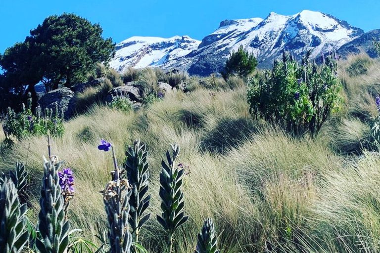
From Amecameca we take a nice mountain road through the forest, and arrive at the Pass of Cortés, which the Spanish conquistadors used to enter the Valley of Mexico in 1519, on their way to Tenochtitlan, then the capital of the Aztec Empire. We register at the park’s office for our two-day adventure.
The first day we do a light acclimatization walk. We will sleep at the Altzomoni hut, at 4,025 meters. Early dinner, equipment check, and sweet dreams!
On summit day we rise at one am, eat our breakfast and begin our trek from the parking lot at 3,970. We gain altitude during the first four hours, and take a little break at the Refugio de los Cien, a hut at 4,750 meters.
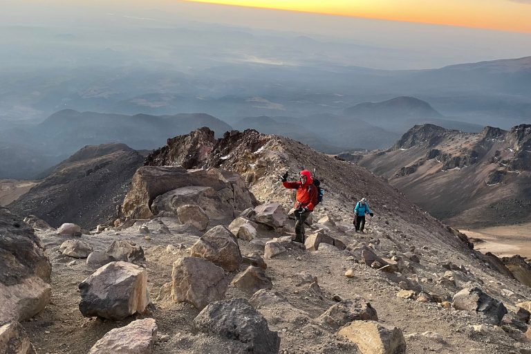
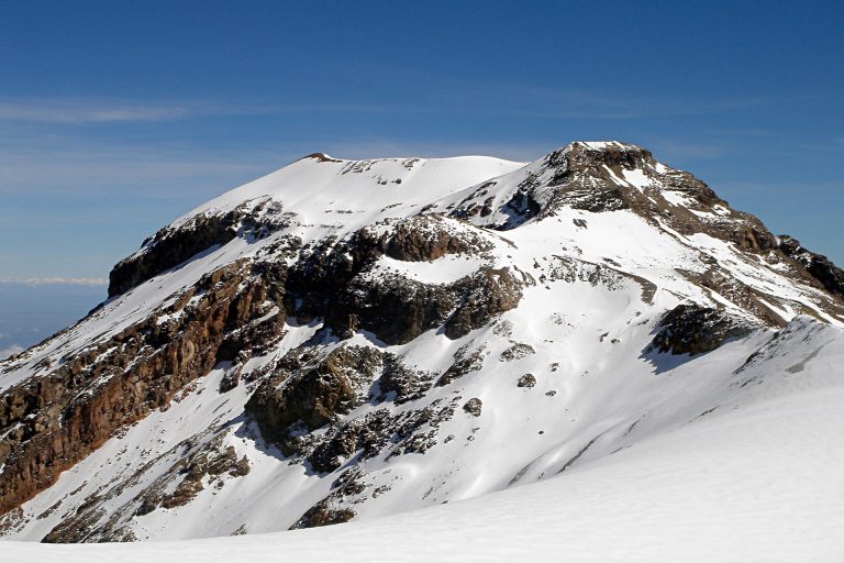
We then begin the hardest section of the day, a sustained climb (including some rock scrambling) to the Knee, at 5,050 meters. Around this time we witness a beautiful sunrise.
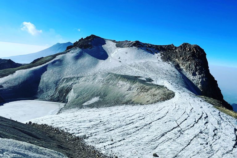
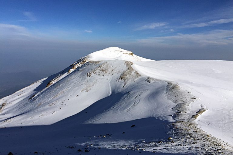
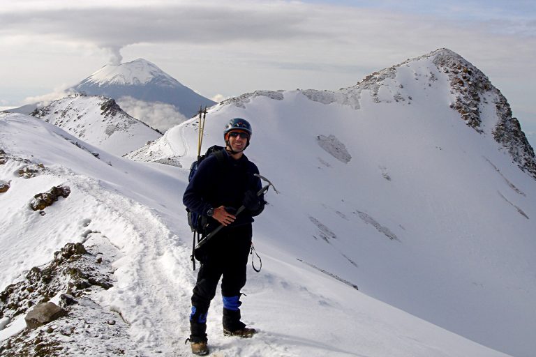
From the Knee we will do a two-kilometer traverse across the Ayoloco glacier, also known as The Belly, gaining two hundred additional vertical meters. Here’s where we make the most beautiful pictures of the day.
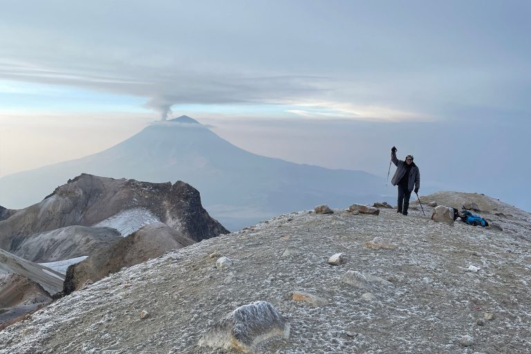
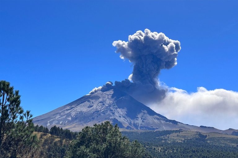
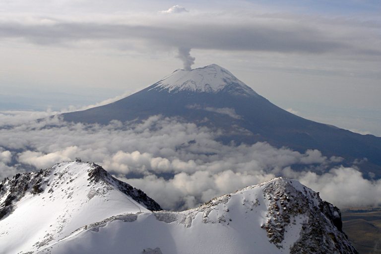
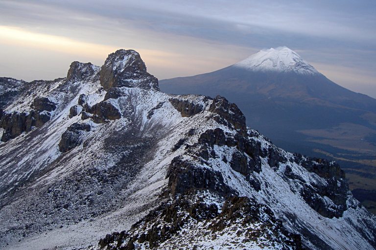
From the summit, on a clear day we get to see seven different states of the Mexican Republic. To the south lies the Popocatepetl, or “Smoky Mountain”; to the eat we contemplate Pico de Orizaba. To the west lies the Valley of Mexico, and further away, the Nevado de Toluca.
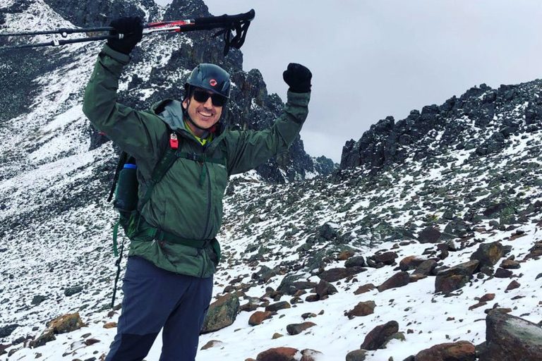
We begin our descent, and four hours later we reach the parking lot, filled with satisfaction after such a great summit. Two hours later we arrive in Mexico City.
One Day Equipment
- Dryfit underwear
- Trekking boots or sports shoes and socks
- Warm pants and jacket (polartech type)
- Waterproof parka (Goretex or ski type)
- Down jacket or similar
- Thin gloves and thick gloves or mittens Woolen hat or balaclava and sun hat
- Hiking boots and wool socks
- Helmet (provided by AdvenCulture)
- Harness, crampons and ice-ax (provided by AdvenCulture)
- Hiking poles (available for rent)
- Sun glasses
- Sun & lip screen
- Sleeping bag
- Head lamp
- Medium-size backpack (50 l)
- Snacks and 2-3 liters of water