Expedition to Nevado de Toluca (normal route)
- Duration: 1 day
- Altura: 4,680 meters (15,387 feet)
- Vertical gain: 540 meters (1,770 feet)
- Total distance: 8 kilometers (2.5 miles)
- Total time: 7 hours (ascent 4, descent 3)
- Terrain: Easy
- Three hours of aerobic exercise per week
Description
The Nevado de Toluca o Xinantécatl is a 4,680 meter volcano in the State of Mexico, two hours away from Mexico City and less than one hour away from the city of Toluca.
It is a perfect place to get started in mountaineering, as both the degree of difficulty and the vertical gain are moderate, as long as you are properly acclimatized.
We pass the village of Raíces and reach the entrance of the park. We drive to a parking place named La Pluma (“The Feather”), where we gear up and start our trek. We are a bit higher than 4,000 meters.
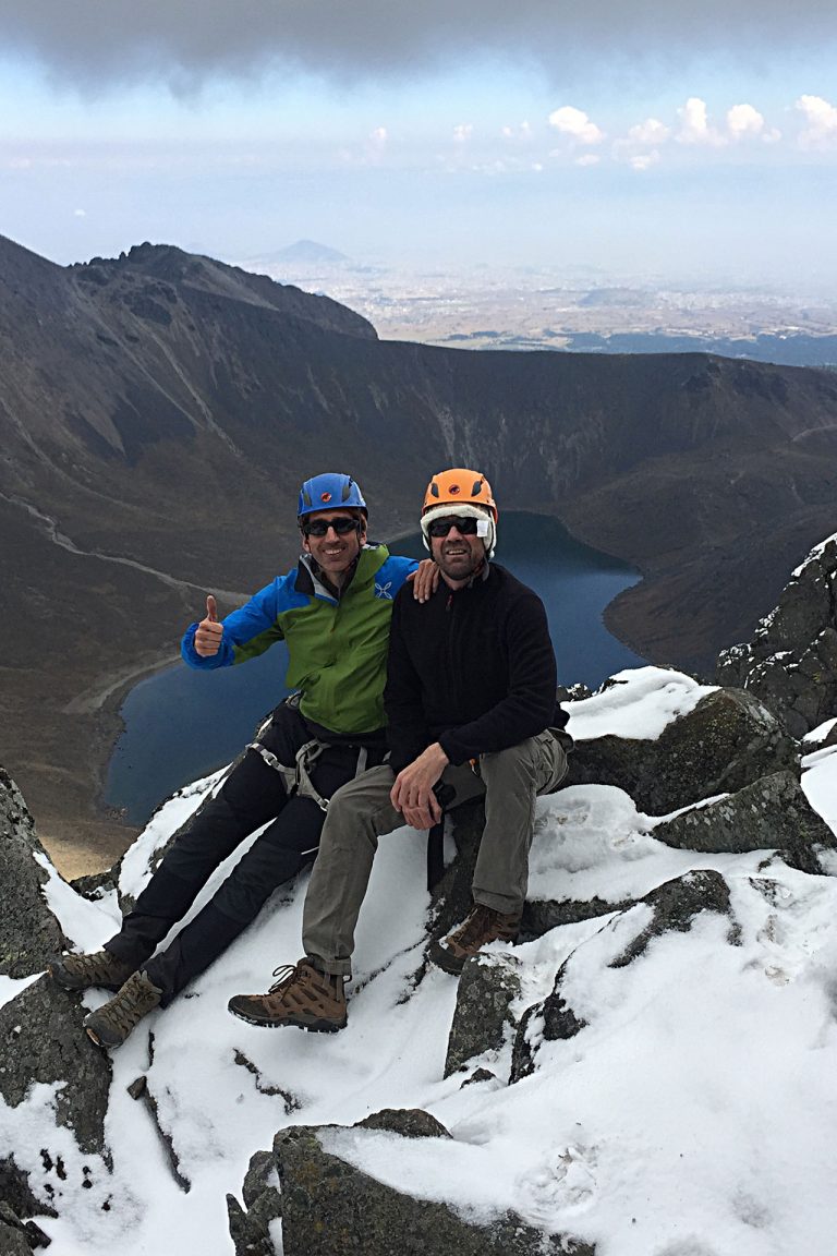
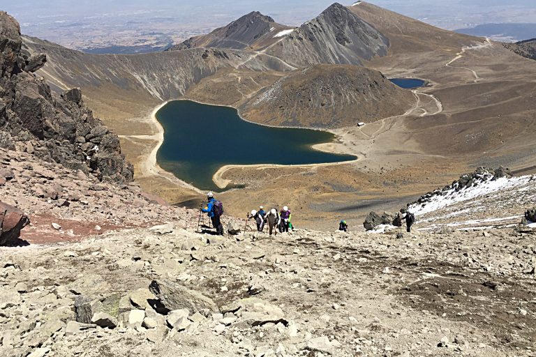
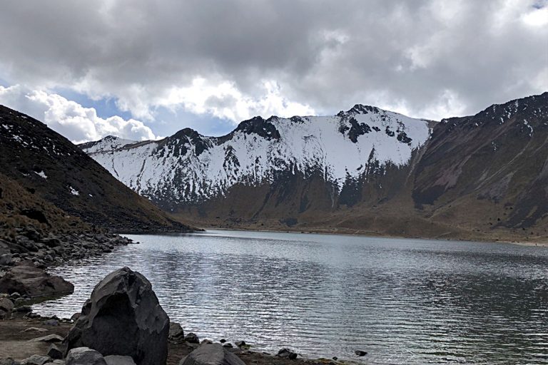
After an easy 800-meter section, we reach the rim of the crater, where we enjoy an impressive view. The crater is more than two kilometers wide, and in its base there several lakes, such as the Lake of the Sun and the Lake of the Moon. The walls of the mountain reflect on the surface of both lakes.
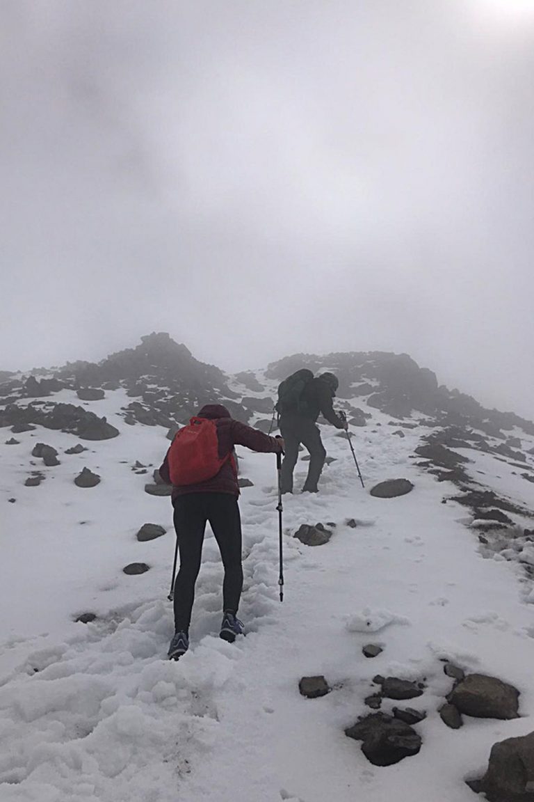
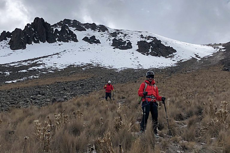
The Nevado is rarely snowed, although there are a few days every year when the use of crampons and ice-ax is required.
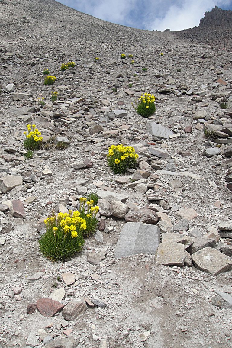
We descend into the crater and walk two additional kilometers; the last 600 meters we go up scree slope to an altitude of 4,400 meters.
The next section requires at times some easy rock scrambling, always under category 4 in the French scale (5.6 Yosemite).
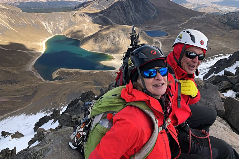
We follow the ridge for one kilometer, enjoying fabulous views, and we come to the summit, at 4,690 meters, called Pico del Fraile (Friar’s Peak).
The descent is usually done through a scree slope on the other side of the summit, although it is equally possible to retrace the ascent route. Either way, we come down to the crater, go around the Lake of the Sun, and reach “La Pluma”.
Odd facts
The Nevado de Toluca is only 127 meters lower than the mythical Mont Blanc.
One Day Equipment
- Dryfit underwear
- Trekking boots or sports shoes and socks
- Warm pants and jacket (polartech type)
- Polartech-like pants and jacket
- Goretex or similar pants and jacket
- Winter and sun hats
- Bandana or Buff (optional)
- Helmet (provided by AdvenCulture)
- Crampons (provided by AdvenCulture if needed)
- Walking poles (can be rented from AdvenCulture)
- Sun glasses
- Sun & lip screen
- 2 liters of water or sports drink
- Medium-size backpack (30 l)
- Your favorite snacks (for instance, sandwiches, chocolate, dried fruits, protein bars, cookies, etc)