Expedition to the Feet of Iztaccihuatl
- Duration: 1 day
- Altitude: 4,741 meters (15,554 feet)
- Vertical gain: 770 meters (2,526 feet)
- Total distance: 8 kilometers (2.5 miles)
- Total time: 6 hours (ascent 4, descent 2)
- Terrain: intermediate (some grade 3 sections)
Description
Description
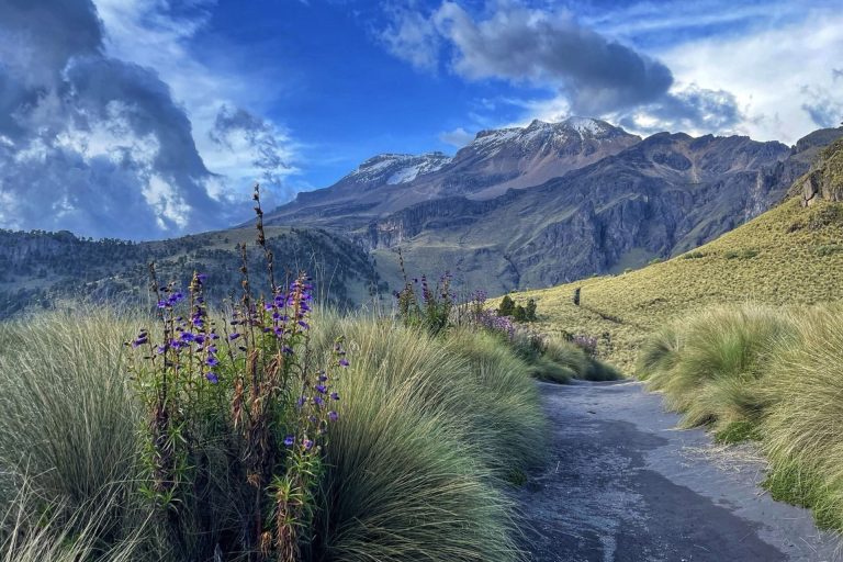
This is a fascinating route, which will take us to the summit of the Feet of the Iztaccihuatl, also known as Amacuilécatl in náhuatl.
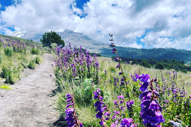
The approach route is the same as for the Iztaccihuatl: Amecameca, Pass of Cortez, and La Joyita. From the parking lot we follow the normal route (“Los Portillos”), and climb to the Third Portillo, at 4,600 meters.
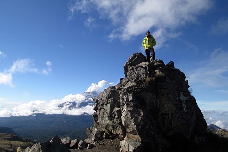
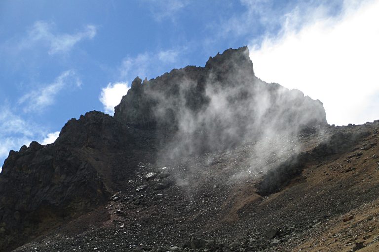
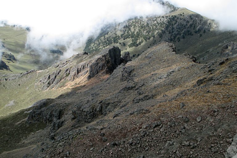
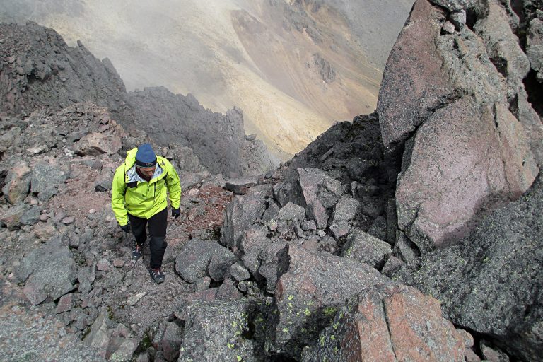
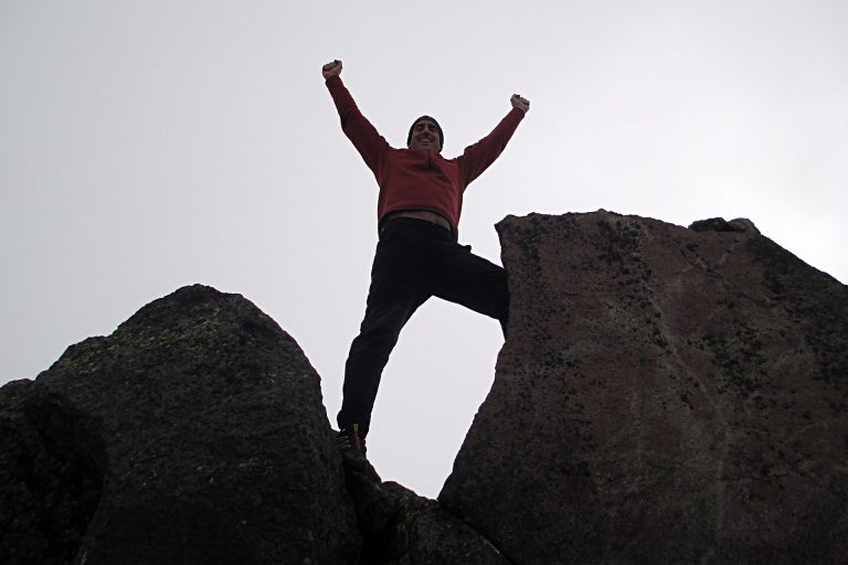
There we break from the normal route, make a right and climb to the base of the feet. We then overcome a series of simple yet exposed rock sections, and reach the summit at 4,741 meters.
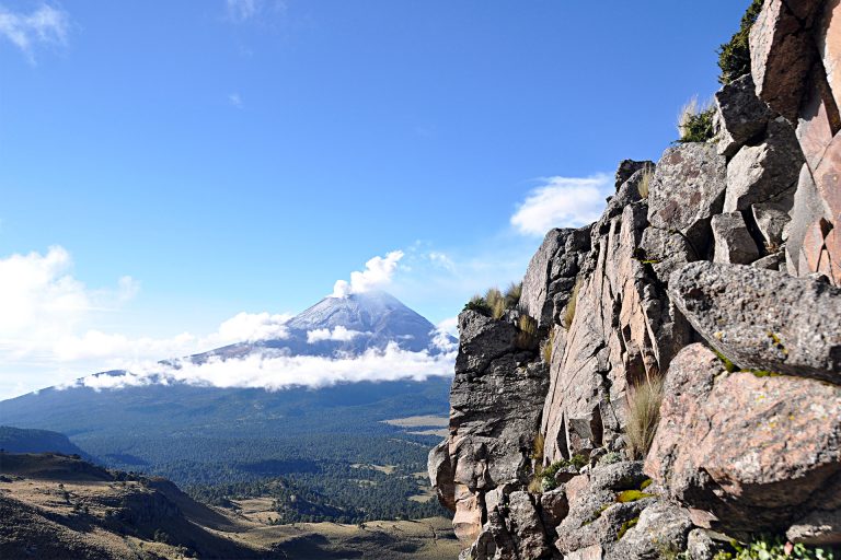
From the top we enjoy an amazing view: Popocatépetl to the south, the Knee of Iztaccihuatl to the north, Pico de Orizaba and Malinche to the east, and Nevado de Toluca to the west.
We do our descent along a scree slope, going around the south side of the mountain, rejoin the normal route at the First Portillo, and in less than one hour we reach the parking lot. Two hours later we arrive in Mexico City.
One Day Equipment
- Dryfit underwear
- Trekking boots or sports shoes and socks
- Warm pants and jacket (polartech type)
- Polartech-like pants and jacket
- Goretex or similar pants and jacket
- Winter and sun hats
- Bandana or Buff (optional)
- Helmet (provided by AdvenCulture)
- Crampons (provided by AdvenCulture if needed)
- Walking poles (can be rented from AdvenCulture)
- Sun glasses
- Sun & lip screen
- 2 liters of water or sports drink
- Medium-size backpack (30 l)
- Your favorite snacks (for instance, sandwiches, chocolate, dried fruits, protein bars, cookies, etc)
