Expedition
- Duration: 2 or 3 days
- Altitude: 5,636 meters (18,490 feet)
- Elevation gain: 950 meters (3.116 feet)
- Total distance: 8 kilometers (2,5 miles)
- Total time: 8 hours (ascent 6, descent 2)
- Terrain: Easy
- five hours of aerobic exercise per week
- we recommend climbing a four-thousander beforehand
Description
The pre-Hispanic cultures baptized this volcano as Citlaltépetl, or "Cerro de la Estrella" (Hill of the Star). With its 5,636 meters, it is the highest mountain in Mexico and the third highest in North America.
For this expedition you should be in optimal physical condition and properly acclimatized. The ascent takes between six and seven hours, and the descent about three hours (one of the great advantages of this route!).
From Atzinzintla we arrive at Valle del Encuentro, at about 4,000 meters above sea level, where we camp in a beautiful and quiet forest. We take an acclimatization hike up to 4,500 meters. As usual, we enjoy an early dinner, check our gear, and go to sleep as soon as it gets dark.
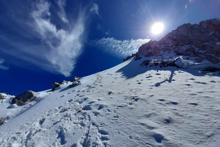
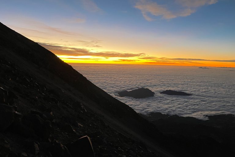
On summit day we wake up at midnight and, after breakfast, board our 4x4 vehicle that takes us up to 4,600 meters above sea level (too bad, that's where the road ends!). From there we start the march, and we arrive in about thirty minutes to the Fausto Gonzalez refuge, at 4,700 meters.
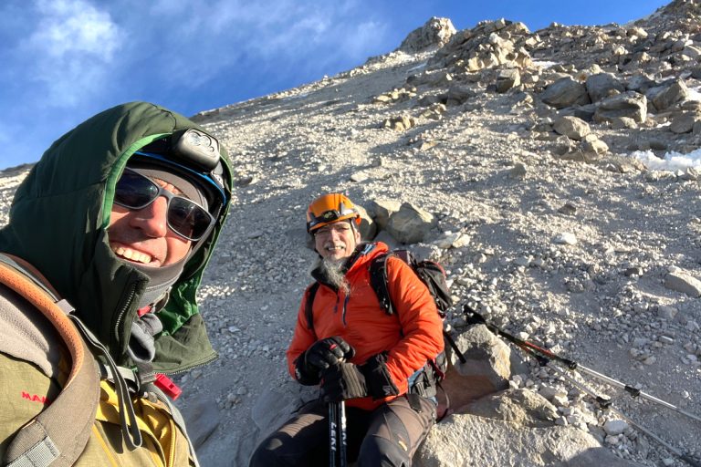
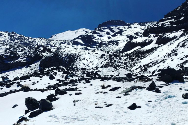
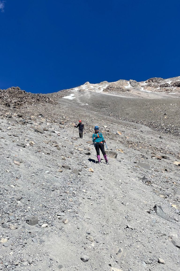
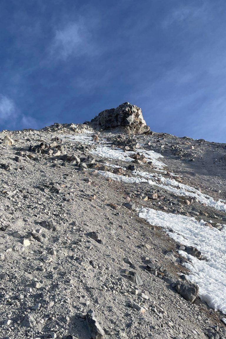
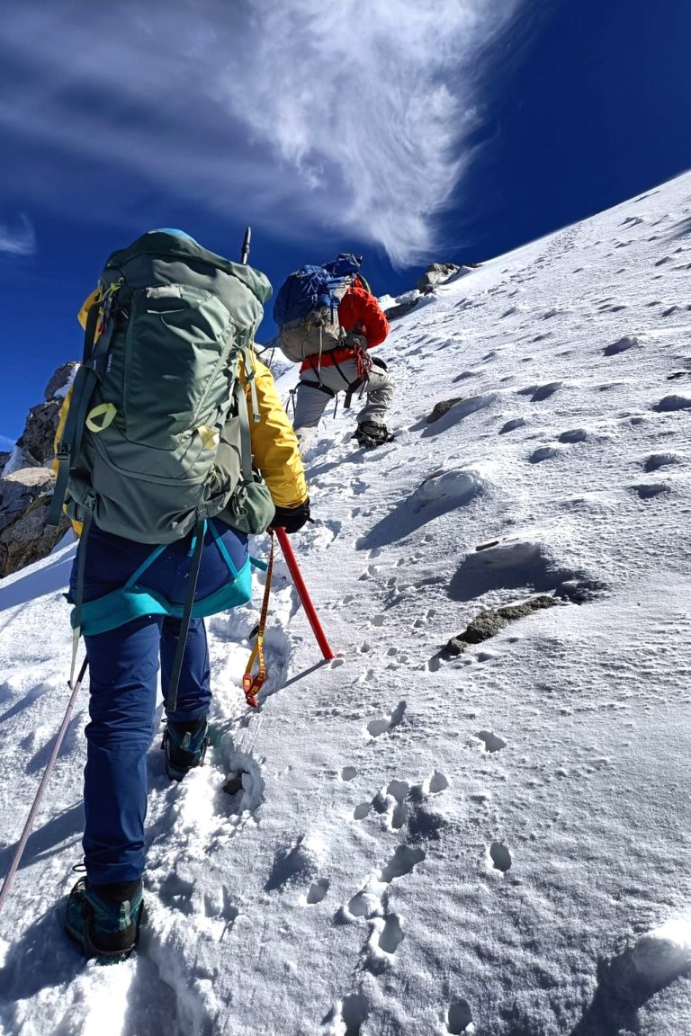
At the beginning we ascend through a sandy area, and soon we reach a ridge called El Espinazo, along which we advance for the next three hours. We first arrive at a point appropriately named El Arrepentimiento (the Repentance). We rest, hydrate, and go on.
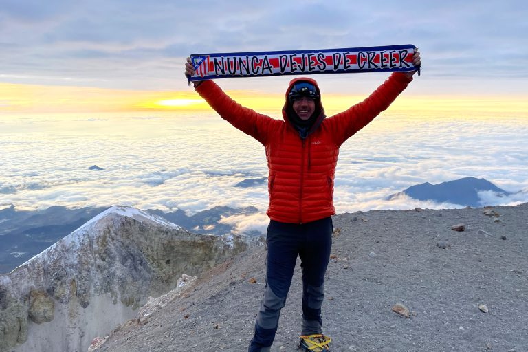
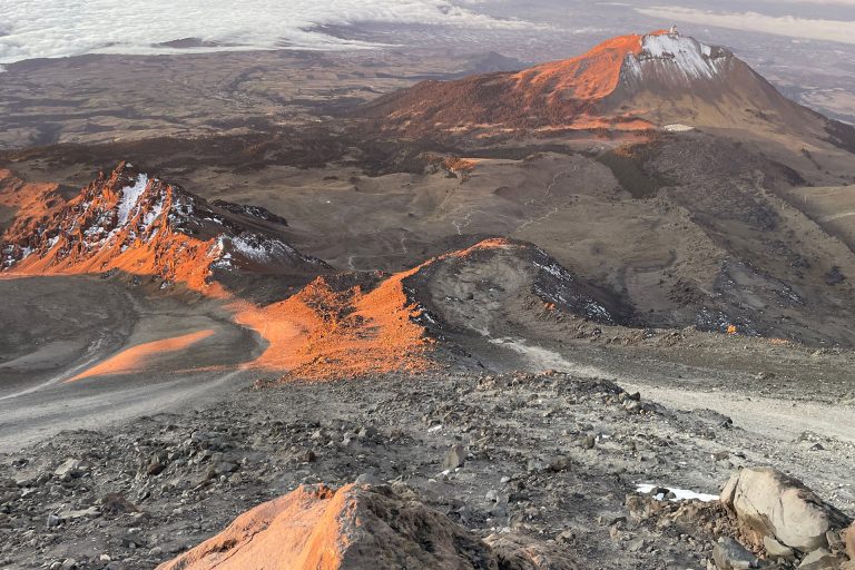
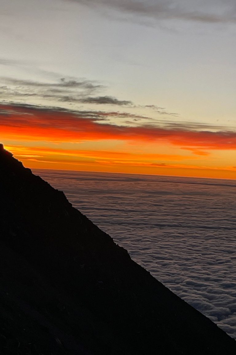
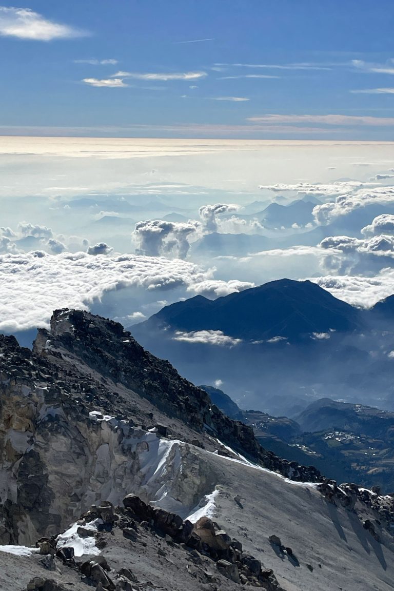
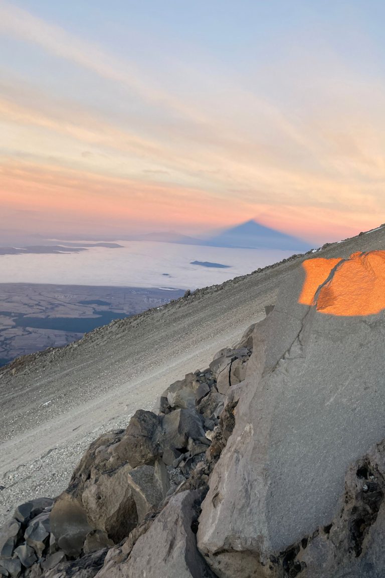
Around eight o'clock we finally reached the summ it. On a clear day, we contemplate to the east the Gulf of Mexico, to the north the Cofre de Perote, and to the west the unmistakable silhouettes of La Malinche, Popocatepetl and Iztaccihuatl. It is an unforgettable view.
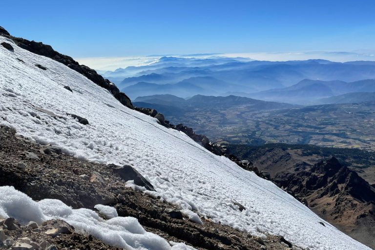
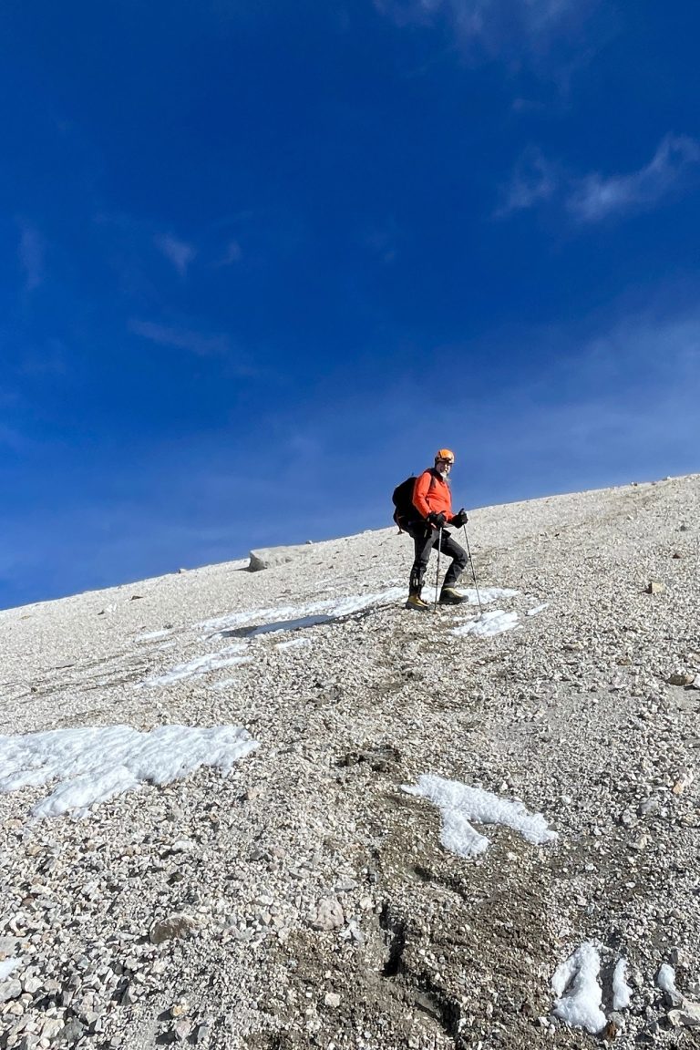
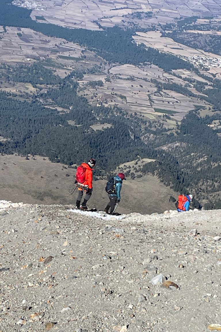
The descent takes place through a long and comfortable sandy area, which saves us a lot of time and energy.
We begin the descent, and about three hours later we arrive at the base camp, from where we start our return to our destination.
Equipment list
- Dryfit underwear
- Trekking boots or sports shoes and socks
- Warm pants and jacket (polartech type)
- Waterproof parka (Goretex or ski type)
- Down jacket or similar
- Thin gloves and thick gloves or mittens Woolen hat or balaclava and sun hat
- Hiking boots and wool socks
- Helmet and ice axe (provided by AdvenCulture)
- Harness and crampons (provided by AdvenCulture)
- Hiking poles (available for rent)
- Sun glasses
- Sun & lip screen
- Sleeping bag
- Head lamp
- Backpack (about 40 liters capacity)
- Nalgene type cylindrical bottles