Mount Tlaloc Expedition
- Duración: 1 Day
- Altitude: 4,120 meters (13,517 feet)
- Vertical gain: 516 meters (1,692 feet)
- Total distance: 11 kilometers (6.14 miles)
- Total time: 5 hours (ascent 3 hours, descent 2 hours)
- Terrain: easy
- Two hours of aerobic exercise per week
Description
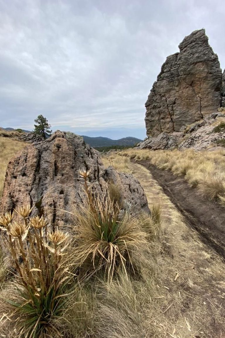
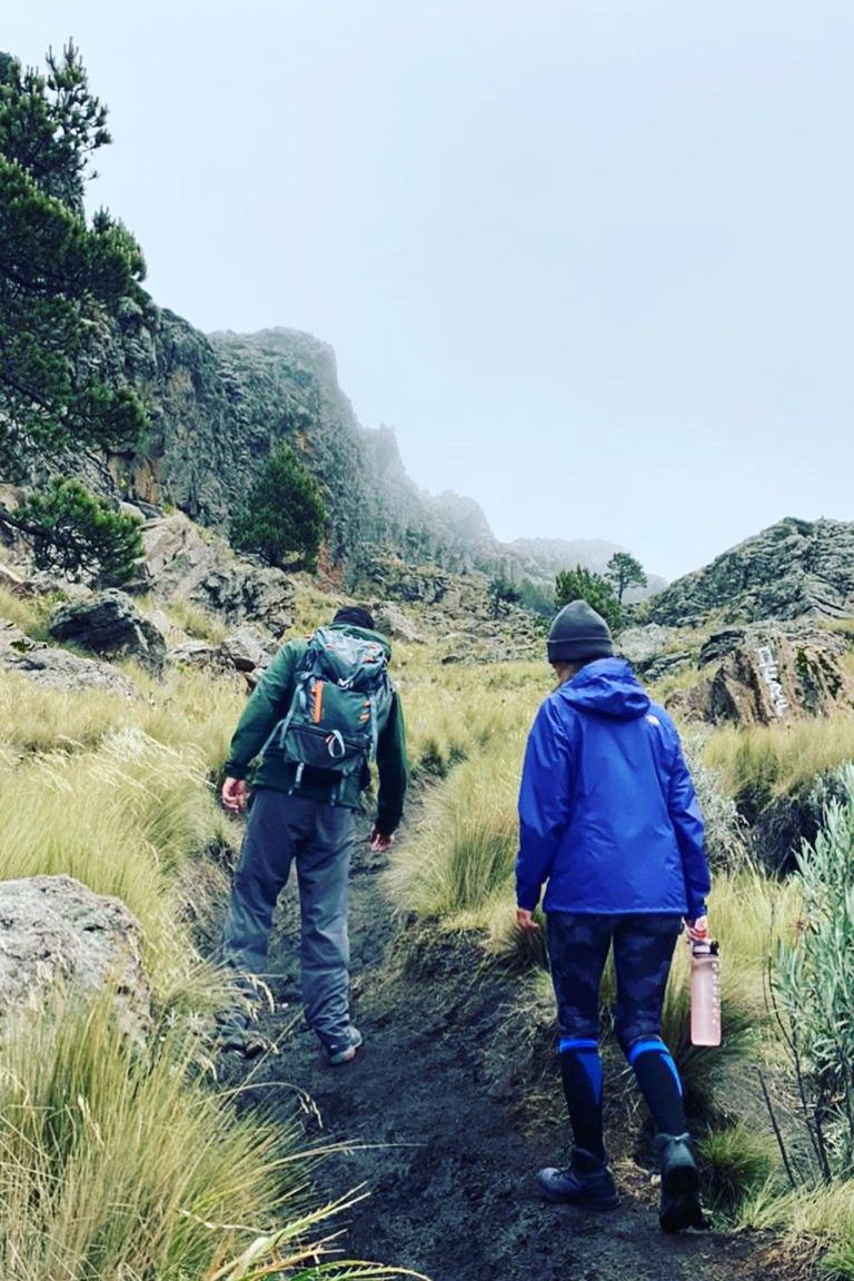
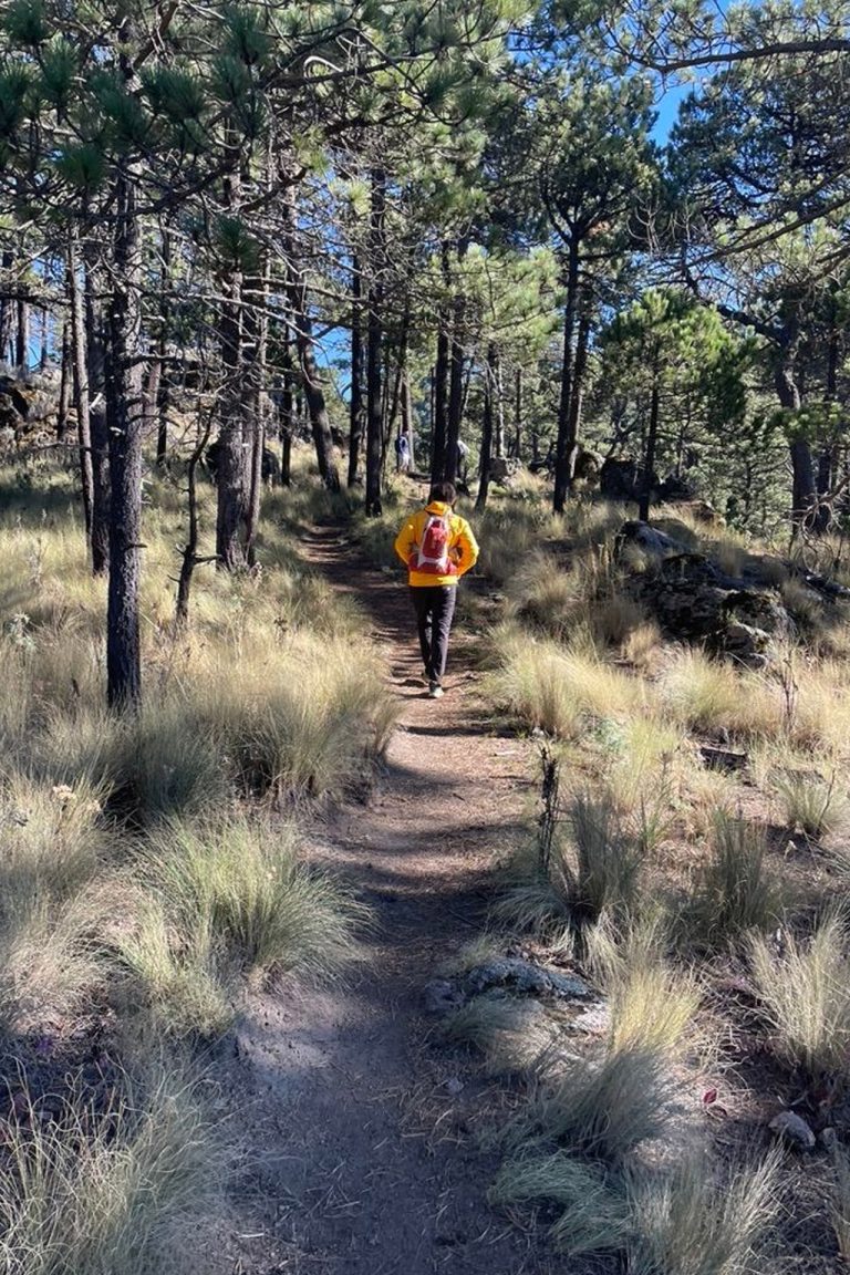
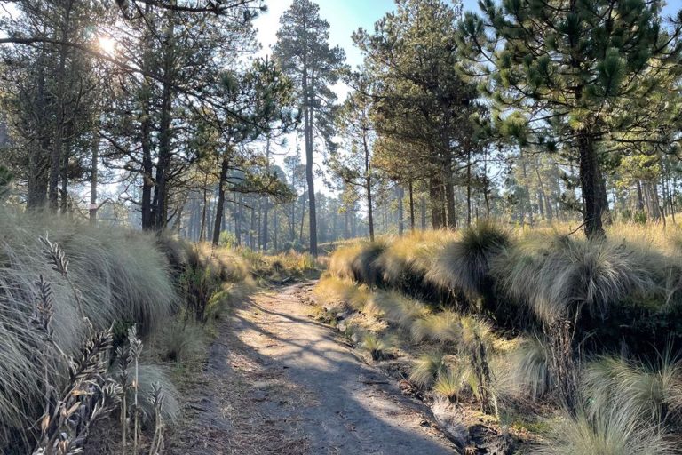
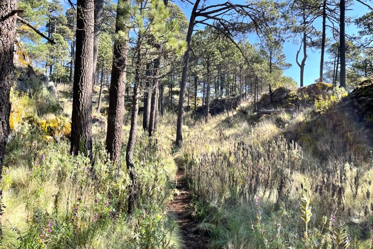
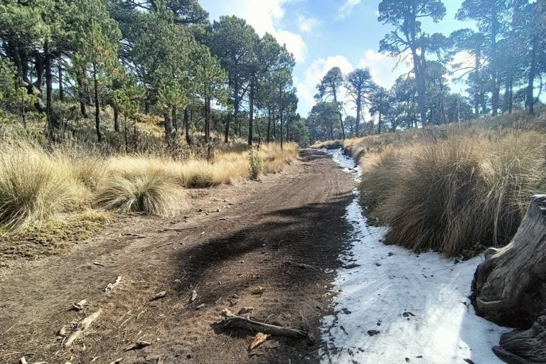
The highest point in the Sierra de Río Frío is Mount Tláloc, at 4,120 meters. The ascent takes about three hours, through a forest of oyamel trees; the route is quite gradual, and the elevation gain is 516 meters.
This outing is recommended for anyone in standard physical condition, and who does about two hours of exercise per week. The terrain is easy, and the slope is moderate, to the point of not requiring the use of a helmet.
From San Pablo Ixayoc we take the dirt road to the starting point, where we leave the cars and begin the hike.
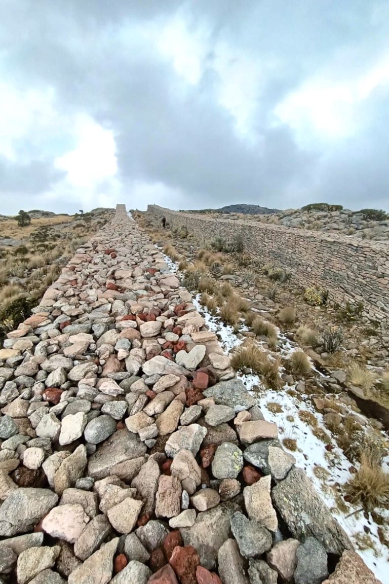
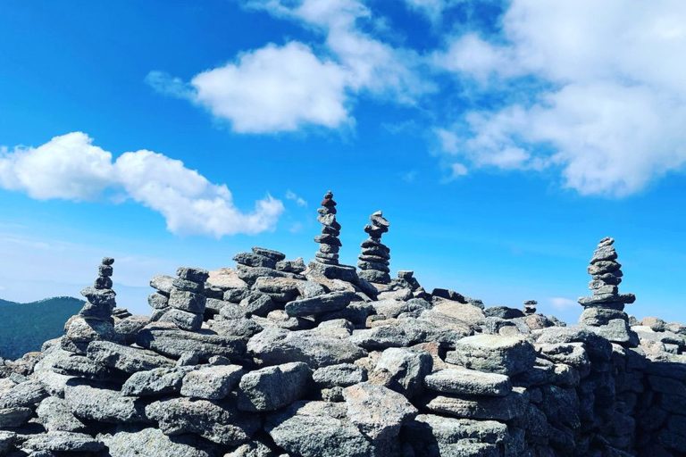
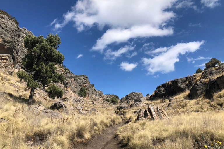
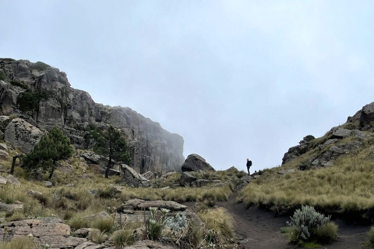
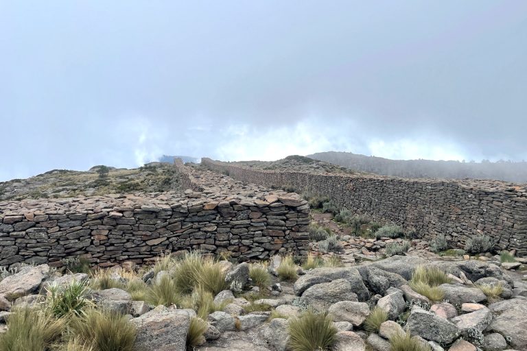
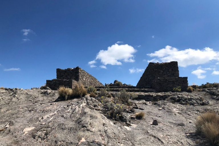
After two hours of walking we left the forest, and half an hour later we came out, through a canyon, to the summit. We are in the highest archaeological center of Mesoamerica, because this place was considered sacred by the people of the Triple Alliance.
From here we have a beautiful view of Mexico City, and the volcanoes Iztaccihuatl, Malinche, and, on clear days, the Pico de Orizaba.
We made the descent by the same route. In less than two hours we arrive at the starting point, where we have a group stretching session. An hour and a half later we will be back in Mexico City.
One Day Equipment
- Dryfit underwear
- Trekking boots or sports shoes and socks
- Warm pants and jacket (polartech type)
- Polartech-like pants and jacket
- Goretex or similar pants and jacket
- Winter and sun hats
- Bandana or Buff (optional)
- Helmet (provided by AdvenCulture)
- Crampons (provided by AdvenCulture if needed)
- Walking poles (can be rented from AdvenCulture)
- Sun glasses
- Sun & lip screen
- 2 liters of water or sports drink
- Medium-size backpack (30 l)
- Your favorite snacks (for instance, sandwiches, chocolate, dried fruits, protein bars, cookies, etc)